Itinerary 25 - Sorrento – Sant’Agata via Circumpiso
Departure point
Sorrento (Piazza Tasso)
Arrival point
Sant’Agata (largo Padre Ludovico da Casoria)

Information
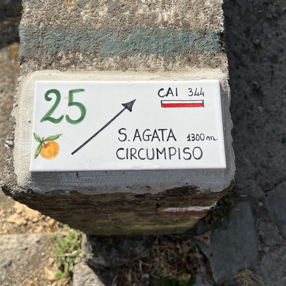
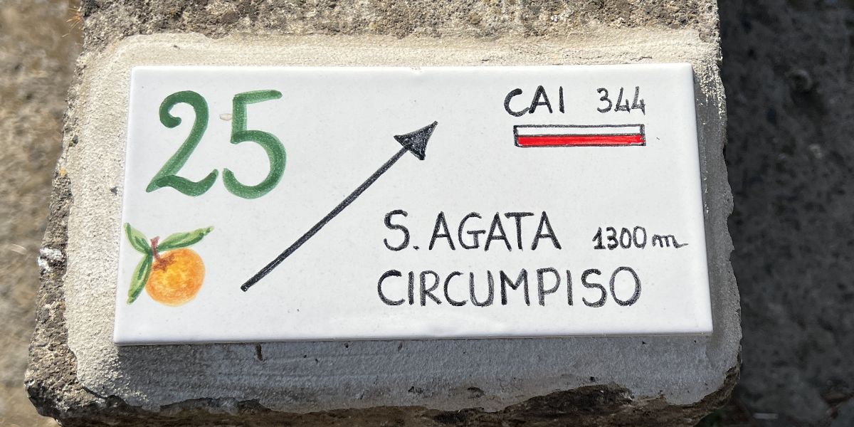
A truly historical itinerary between Sorrento and Sant’Agata, recommended and described in guides already a century ago (eg. Frenkel, 1927, page 144). The Club Alpino Italiano also included it some years ago as one of its suggested itineraries under number 344 (Sorrento – Sant’Agata – Crapolla) and therefore you will also often find the red/white CAI signs as well as the green Tolomeo waymarks.
The upper part is steep (average gradient around 25%) and slippery for many months being on a hillside facing north-east that in the winter rarely sees the sun. It is the steepest path between Sorrento and Sant’Agata with an average gradient of 12,3%.
From Piazza Tasso (the ancient Porta del Piano), walk along Viale Caruso under the linden and plane trees and, after walking along the side of the Vallone dei Mulini, go under the viaduct of Via degli Aranci, past Piazza Gangi and right towards the district of Santa Lucia.
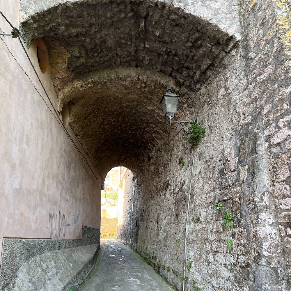
Continue to the church before turning left into Via Talagnano. The centre of the road is made of classical Massa Lubrense sandstone and continues for around 300 metres uphill before turning left into Via Casarufolo. Keep on going uphill taking shortcuts up the steps wherever possible. Since you are now above Sorrento, look out to sea and you will be able to admire the Bay of Naples, Vesuvius in the background and Monte Faito, the highest peak of the Monti Lattari. After the third shortcut, ignore the paved road continuing left and go straight ahead up the pedestrian Via Casarufolo, that continues alternating wide steps, a series of bends and other stretches without steps. Halfway up, do not take the only lane with steps to the right and, once near the top, make sure you follow the waymarks and indications of the many tiles along the way. You will see a tile commemorating the historical name of the road Circumpiso (Cierco de lo 'Mpiso – Tree of the hanged man). The next part is in common with itinerary 16 walking along Via Pagliaio di Santolo, crossing Via Nastro Verde by the underpass and arriving in Sant'Agata.
On the right is the turning onto itinerary 15 and high up on your right you will see a marble plaque commemorating the Neapolitan poet Salvatore di Giacomo who used to stay there in the summer. Straight afterwards turn right along Via Termine and shortly afterwards left onto Corso Sant'Agata.
The itinerary finishes in Largo Ludovico da Casoria by the tourist information point and the bus stop.
Points of interest
How to get to the starting point
From the port: Proceed uphill along via Luigi De Maio. After 400 metres you will come to a hairpin bend with steps opposite taking you directly to Piazza Tasso. You can also take the shuttle bus to the centre if you prefer.
From Sorrento station: Go down the steps of Piazza De Curtis to Corso Italia. Turn left along the Corso and walk for around 400 metres, until you arrive in Piazza Tasso
GPS coordinates
Departure point
40.626275, 14.375847
Arrival point
40.606072, 14.374509


Painted signs


Description of the itinerary
piazza Tasso
viale Caruso
via Fuorimura
via Santa Lucia
via Talagnano
via Casarufolo
via Pagliaio di Santolo
via Termine
corso Sant’Agata
largo Padre Ludovico da Casoria
Comments and reviews
Great walk
Dirk
24-10-2022
We enjoyed it very much, stunning views. If you walk in a sportive way, as we did, you can do it in 45 min (uphill).
Steep but worth the climb
Helen Mears
01-12-2022
We walked this route at the end of November. The description is accurate, the first section is very steep and a long climb upwards and it was very slippery in places. Shoes with a good grip are recommended and perhaps a walking pole to help with the climb. Once at the top the views are wonderful with a great vista of Vesuvius and the Bay of Naples. We came back a different route and cannot say how it was coming down. The route was easy to follow and brings you out in the centre of Sant Agata where there are cafes and shops