Itinerary 19 - Sorrento – Sant’Agnello
Departure point
Sorrento (Piazza Tasso)
Arrival point
Sant’Agnello (Piazza Matteotti)

Information
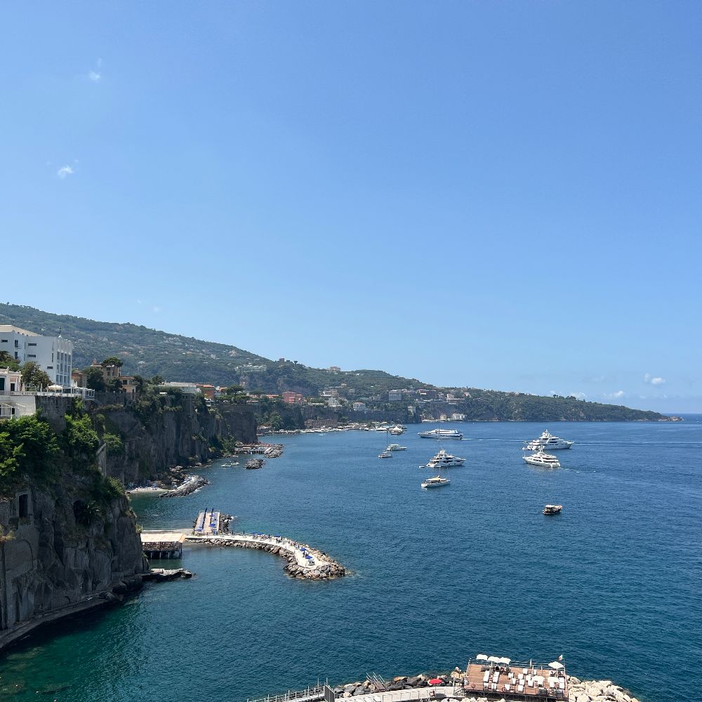
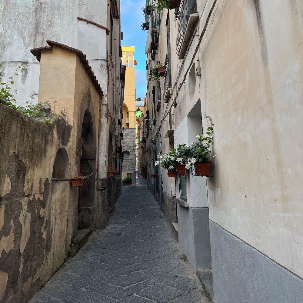
This is another new entry which combines the ease and pleasure of its route with the advantage (from a touristic point of view) of passing near, if not right in front of, the entrances to several well-know 4 or 5 star hotels. In choosing this itinerary, we have tried to keep as close as possible to the sea, linking the viewpoints, and as far away as possible from the traffic. In the final part in Sant’Agnello, you will walk through its historical centre (Rione Angri).
Virtually all on the flat, you set off from Piazza Tasso in Sorrento at 52 metres altitude with almost all of the uphill concentrated into the final 1.200 metres between the recently restyled Belvedere Cappuccini and Piazza Matteotti, 24 metres elevation, average gradient 2%!
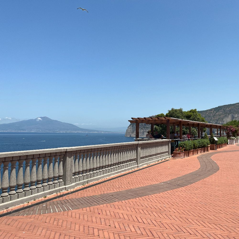
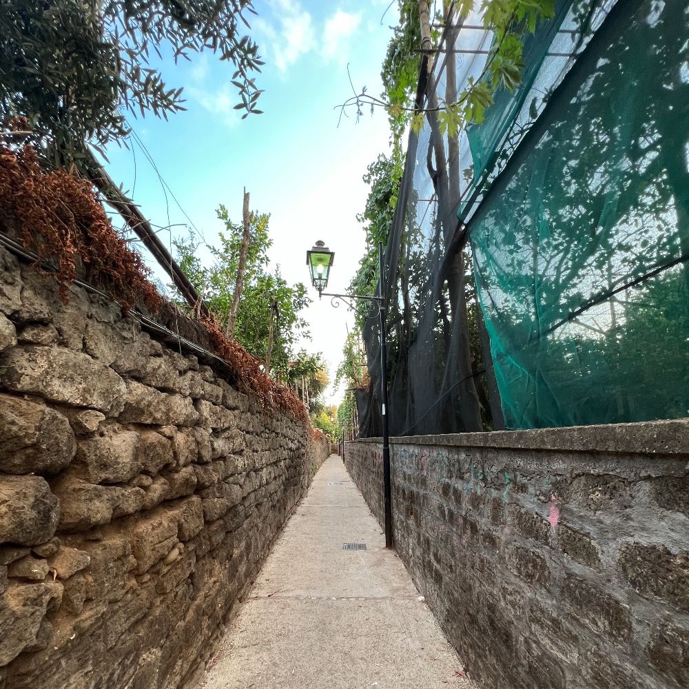
From Piazza Tasso walk the entire length of Via Correale until you come to the homonymous museum where you turn left. A hundred metres further on, you reach the first viewpoint. Continue past Sorrento’s football ground and after a slightly uphill stretch along a tree-lined avenue, turn left. Cross the road and walk along the pavement. When the pavement ends, cross back over the road and after a double bend continue walking along the main road past historical hotels such as Parco dei Principi and Cocumella. At the T-junction go left down to Belvedere della Marinella. Coming back up from the square, go left and then down the first side street at the end of which you will come to Belvedere Cappuccini. Return to the main road and roughly a hundred metres further on, you can go down to the Belvedere del Golfo del Pecoriello (there and back). Then, walking up a wide tree-lined dual-laned avenue, keep to the right-hand side and 100 metres after a small round-about, take the alleyway Via Passaturo, leading to the Santuario della Ss. Annunziata. Walk along Via Angri crossing a square with a fountain, where after passing under a bridge you will come to Piazza Matteotti. If you wish, you can return to the departure point along the same route. Alternatively, the Circumvesuviana station and the EAV bus stop are just a few metres from Piazza Matteotti.
Points of interest
How to get to the starting point
From the port: Proceed uphill along via Luigi De Maio. After 400 metres you will come to a hairpin bend with steps opposite taking you directly to Piazza Tasso. You can also take the shuttle bus to the centre if you prefer.
From Sorrento station: Go down the steps of Piazza De Curtis to Corso Italia. Turn left along the Corso and walk for around 400 metres, until you arrive in Piazza Tasso.
GPS coordinates
Departure point
40.626275, 14.375847
Arrival point
40.630686, 14.398473


Description of the itinerary
Sentiero n.19
mariano laezza
08-09-2023
Molto bello, peccato che il belvedere del pecoriello è chiuso per frana, proprio il più bello del percorso!!!